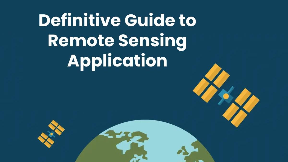
Definitive Guide to Remote Sensing Application
Remote sensing is currently used in many areas of science and human activity. Almost everything on our planet radiates energy, analyzing which you can get valuable information about the state of objects on the surface of the Earth. Satellite imagery plays a vital role in obtaining information about climate change, our seas, oceans, and forests, which can be monitored due to this software. In addition, remote sensing greatly empowers farmers and many other industries looking to increase productivity and move towards a more sustainable future.
Table of Contents
What is remote sensing?
Remote sensing is a science by which we can obtain information about the physical properties of the area remotely. Thanks to this technology, users can capture, visualize, analyze and identify features of objects on the surface of our planet. The collected images can be classified into several different types of analysis.
Sensor types
Remote sensors are responsible for providing a global perspective and providing data on earth systems. As for the types of sensors, they can be active or passive. Actives collect data about the Earth through internal stimuli. Passive sensors respond to external stimuli and record the energy reflected from the planet’s surface.
Passive remote sensing devices
Radiometers and spectrometers of various kinds are the most common examples of devices used for passive remote sensing. Spectrometers enable us to analyze and distinguish spectral bands. Radiometers are used to determine the radiation power in specific ranges. The spectroradiometer can select the radiation power in several fields at once.
The hyperspectral radiometer distinguishes hundreds of extremely narrow spectral bands in near-infrared and other regions. Radiometers can also scan objects and reproduce images. There are accelerometers to measure the speed per unit of time.
Active remote sensing devices
Active remote sensing tools differ in what they detect and transmit. Active sensors send their signal to the object and check the received value. Most devices use microwaves to make them less susceptible to the weather. Active remote sensing devices include radars, lidars, laser altimeters, echo sounders, and reflectometers.
The primary application of remote sensing
- Analysis of the condition of rural roads to the nearest inch.
- Create maps
- Fighting forest fires
- Climate change monitoring
- Snow cover assessment
- Collecting images of our planet from space
- Land use and vegetation cover assessment
- Estimating the growth and loss of the world’s forests
- Control of construction and reconstruction
- Finding out fraud insurance claims
- Prediction of potential landslides
Best remote sensing software
The Sentinel Toolbox includes three applications. It consists of two high-resolution optical and a SAR applications. The Sentinel-1 toolkit provides opportunities for data processing. It provides the users with tools for speckle filtering, co-registration, and interferometry.
SAGA GIS is capable of performing most remote sensing tasks. The rich library and primary controlled classification are available for users. The available tools also include soil classification, topographic position, and moisture indices.
ORFEO Toolbox is an image processing library created by Italy and France. This library is designed for data with high spatial resolution. The software also contains a diverse set of remote sensing tools.
GRASS GIS offers many features, including radiometric corrections and image classification. The software also features LiDAR processing and analysis. Such functions as contours creation and filtering LiDAR points are also available.
InterImage was created for automatic image interpretation. It is mainly about object-oriented image analysis. The entire work cycle includes segmentation, classification, as well as the definition of various properties.
Final thoughts
Satellite imagery allows you to see the world from a bird’s eye view and get data that you could only dream of before. Remote sensing is used in many areas of human activity. This technology allows us to see what is not available to the naked eye.
Related posts
Sidebar
Recent Posts
The Best Forex Brokers for Beginners
Since COVID-19 first popped up, interest in the forex market has increased dramatically. Knowing how to get involved with minimal…
Maximizing Success: The Symbiosis of Dedicated Software Development Teams and Product Design Services
The Symbiosis of Dedicated Software Development Teams and Product Design Services In the rapidly evolving landscape of technology, businesses aiming…


